Browse products
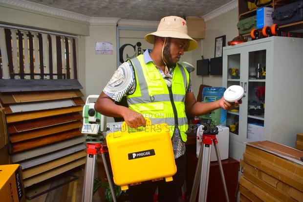
The Precise X RTK GPS/GNSS Receiver
The Precise X RTK GPS/GNSS Receiver is a high-accuracy surveying instrument designed for professionals who demand speed, reliability, and precision
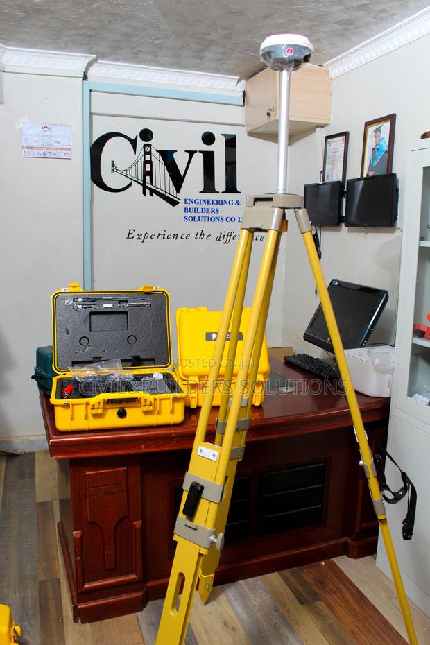
RTK GNSS ( Precise X Mode)
The Precise X is a survey‐grade RTK (Real‐Time Kinematic) GNSS receiver Key Features: • High‐precision RTK positioning: ~±8 mm + 1 ppm (horizontal) and ±15 mm + 1 ppm (vertical) accuracy with real‐time corrections
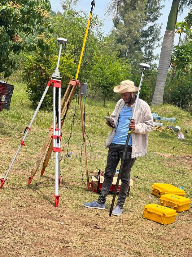
Rtk,Precise X
Precise RTK is a high-accuracy positioning system used in surveying, mapping, and construction to deliver real-time centimeter-level precision
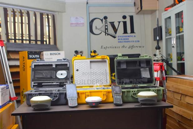
Precise X and Hi Target RTK
Both Precise and Hi-Target RTK systems are advanced GNSS receivers built for real-time, centimeter-level positioning
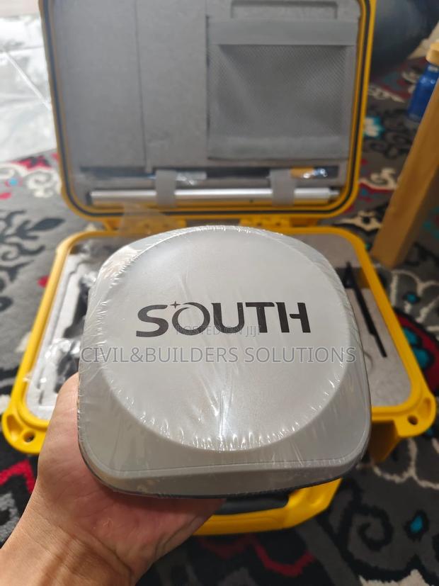
Rtk Corrections
The Precise RTK is a high-accuracy GNSS receiver designed for professional surveying, mapping, and construction applications
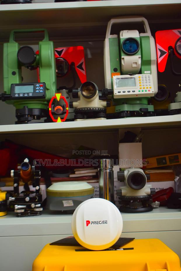
Precise X Rover Gnss Modern Solution
The Precise X Rover is a modern GNSS solution built for accuracy, speed, and reliability in surveying and mapping
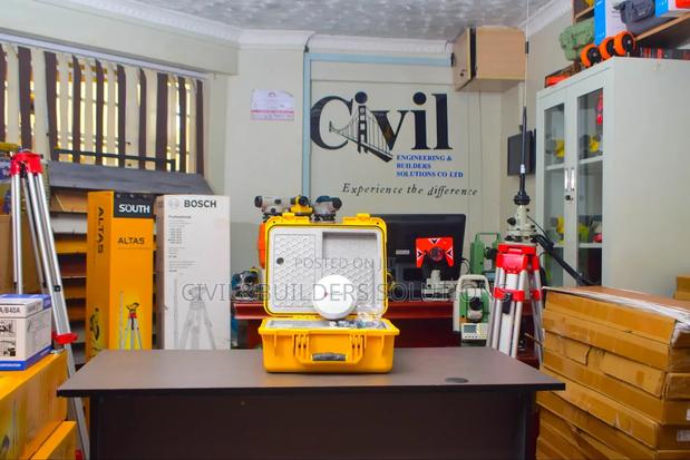
Precise X7 Rover RTK
The Precise X7 Rover RTK is a high-performance GNSS receiver designed for real-time kinematic (RTK) positioning
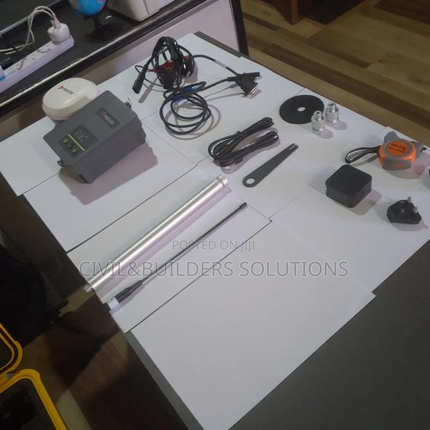
Precise X Base Rover
Precise X is your go-to solution for RTK surveying, combining affordability with reliability
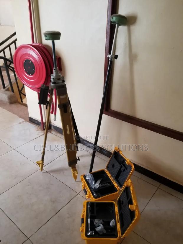
Rtk Gnss Receiver
RTK is a high-precision positioning system used to improve GPS accuracy in real time

Full Set Precise Rtk Rover
The Precise Rover is a reliable, real-time kinematic (RTK) GNSS receiver designed for accurate land surveying, construction, and mapping
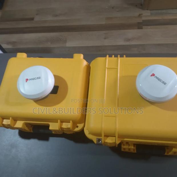
RTK GNSS Precise X
#PRECISE_X – Built to Withstand It All
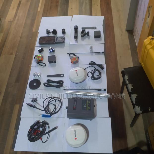
Dual Precise X RTK
With #PRECISE_X, you get the high-precision positioning youneed,no matter the conditions

Precision Gnss Surveying Rtk
Precise RTK (Real-Time Kinematic) is an advanced GPS/GNSS positioning technology that delivers centimeter-level accuracy instantly by using correction data from a fixed base station
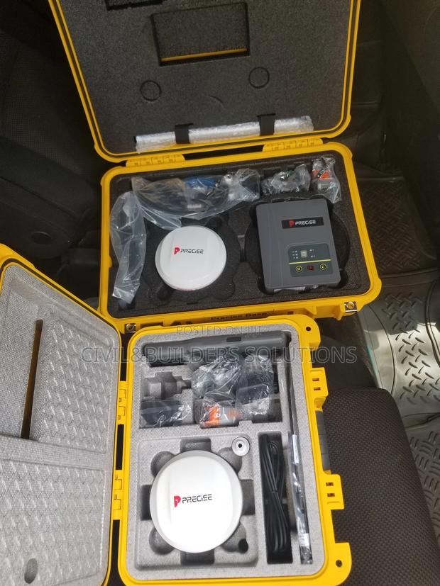
RTK Precise X
Precise X is your go-to solution for RTK surveying, combining affordability with reliability
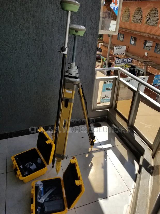
Gnss Real Time Correction Rtk
RTK is a satellite navigation technique that enhances the accuracy of GNSS (Global Navigation Satellite System) signals
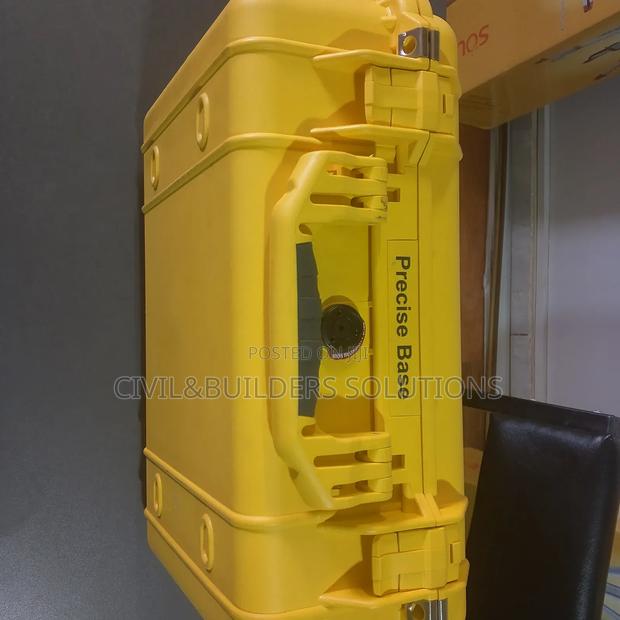
Precise X Base RTK
Testing in action
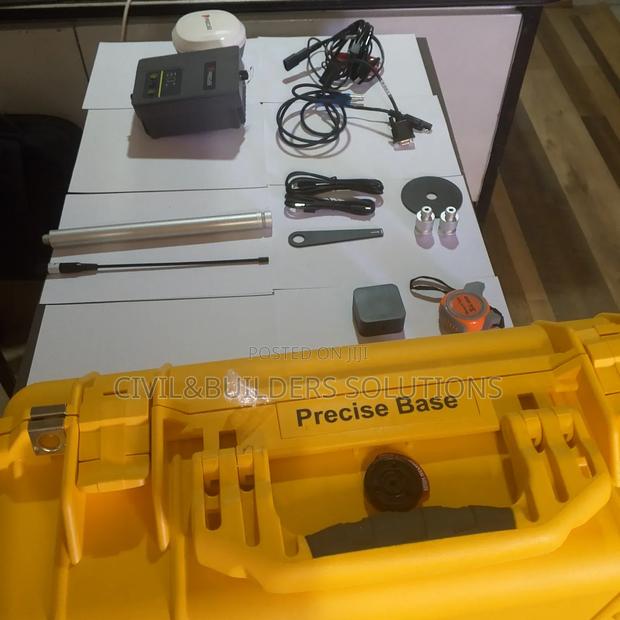
Precise Gnss Base Station
Experience the power of #PRECISEX in the toughest mining environments
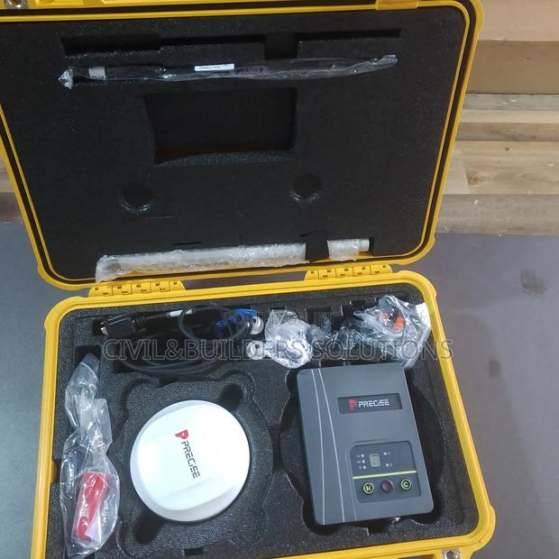
Precise Long Range RTK
Precise X is your go-to solution for RTK surveying, combining affordability with reliability
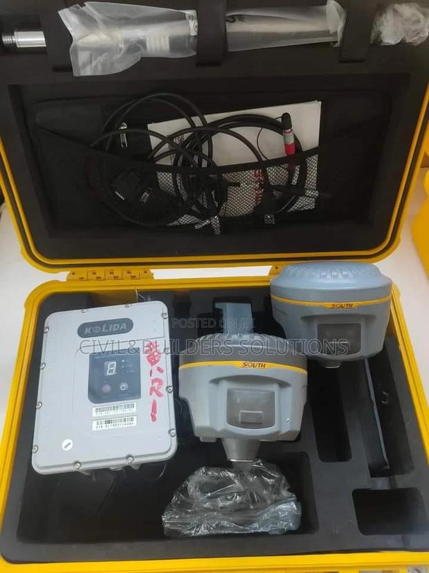
RTK GPS Complete
Has a next generation GNSS receiver
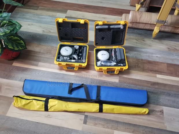
GNSS RTK(Global Navigation Satellite System RTK)
Real-Time Positioning: The system provides real-time corrections, allowing surveyors to obtain immediate, highly accurate positional data
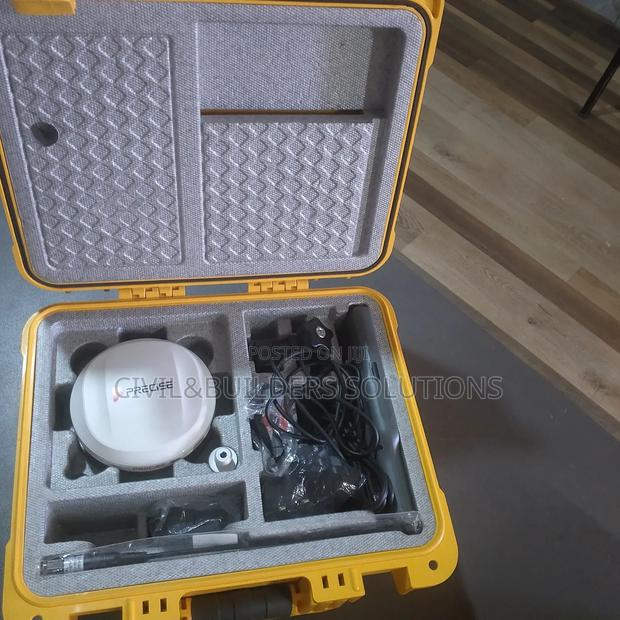
Precise X Cellular RTK
Transform Your Surveying Experience with #PRECISE_X Say goodbye to terrain constraints and welcome next-level surveying flexibility with the cutting-edge IMU technology in #PRECISE_X
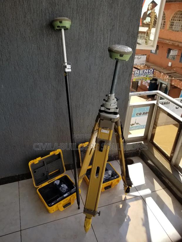
Gnss Base Station Rtk
RTK is an advanced GPS technology that delivers centimeter-level accuracy in real time
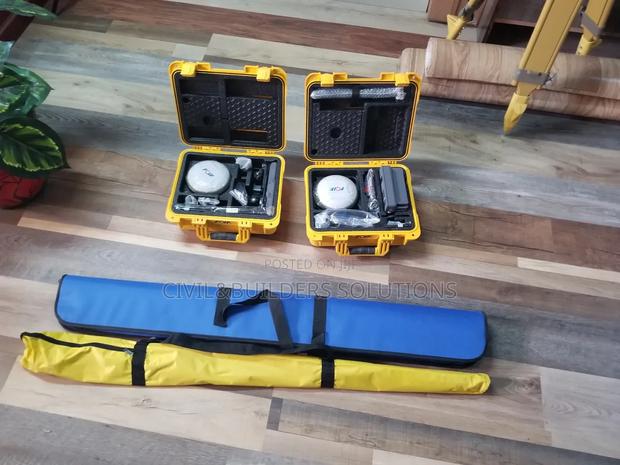
GPS RTK( Global Positioning System RTK)
High Accuracy: RTK provides centimeter-level accuracy by correcting GNSS (Global Navigation Satellite System) signals in real-time, essential for precise mapping and construction work
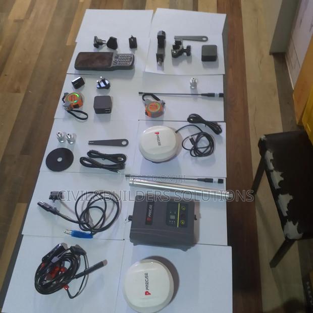
Precise Static GPS Surveying
RTK (Real-Time Kinematic) is a satellite navigation technique used to enhance the precision of GPS positioning