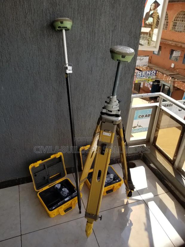
Gnss Base Station Rtk
2 photos
Product Description
RTK is an advanced GPS technology that delivers centimeter-level accuracy in real time. It’s widely used in surveying, engineering, construction, and precision agriculture.
RTK works with two main components: a base station, which stays fixed at a known location, and a rover, which moves and receives correction signals from the base. This improves positioning accuracy far beyond standard GPS.
Main Features
Accuracy: 1–2 cm positioning in real time
Supports multiple satellite systems (GPS, GLONASS, Galileo)
Instant correction data via UHF radio or GSM (SIM card)
Rechargeable and portable – built for field work
Fast fix time and stable signal tracking
Used For
Survey layout
Road & building alignment
Mapping & boundary marking
Drone/GIS applications
RTK is trusted for jobs where precision and speed matter most.
Specifications
- Condition
- Not Specified
- Availability
- In Stock
Customer Reviews
Please log in to submit a review.
Log inLoading reviews...