GPS RTK( Global Positioning System RTK)
Product Description
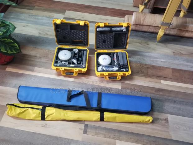
High Accuracy: RTK provides centimeter-level accuracy by correcting GNSS (Global Navigation Satellite System) signals in real-time, essential for precise mapping and construction work.
Call{phone=0711923812}
Specifications
- Condition
- Not Specified
- Availability
- In Stock
Customer Reviews
Please log in to submit a review.
Log inLoading reviews...