Gnss Real Time Correction Rtk
Product Description
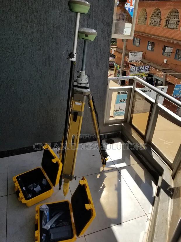
RTK is a satellite navigation technique that enhances the accuracy of GNSS (Global Navigation Satellite System) signals. By using a fixed base station and a mobile receiver (rover), RTK provides real-time, centimeter-level positioning, making it ideal for applications like surveying, mapping, agriculture, and construction.
Key Features:
Centimeter-Level Accuracy: Precise measurements for critical tasks
Real-Time Corrections: Base station sends live data to the rover via radio or cellular
Fast Positioning: Quick fix within seconds
Multi-GNSS Support: Compatible with GPS, GLONASS, Galileo, BeiDou
Portable Equipment: Lightweight and easy to deploy
Wide Applications: Used in surveying, drones, precision farming, and machine guidance
RTK is essential when high-precision positioning is required in real-time field operations.
Specifications
- Condition
- Not Specified
- Availability
- In Stock
Customer Reviews
Please log in to submit a review.
Log inLoading reviews...