Gnss Rtk System
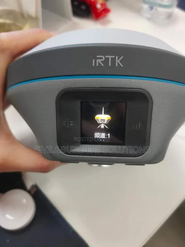
2 photos
Product Description
GNSS RTK (Real-Time Kinematic) is a satellite-based positioning system that delivers fast, high-accuracy location data for surveying, construction, and mapping. By using corrections from a base station, RTK significantly improves positioning accuracy to the centimeter level.
---
Key Features
Centimeter-level accuracy in real-time
Fast, reliable data transmission via radio or network
Works with multiple satellite systems (GPS, GLONASS, BeiDou, Galileo)
Ideal for land surveys, construction layout, and precision mapping
Portable and easy to set up in the field
---
GNSS RTK is trusted for tasks where precise, real-time location data is critical, helping professionals work faster and more accurately.
Specifications
- Category
- POS Systems
- Condition
- Not Specified
- Availability
- In Stock
Customer Reviews
Please log in to submit a review.
Log inLoading reviews...