Rtk,Precise X
2 photos
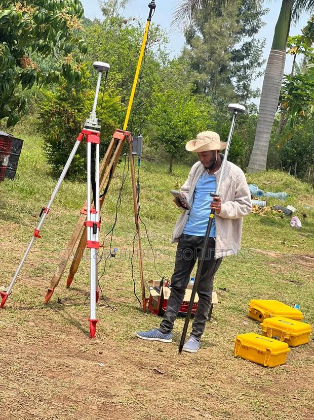
Product Description
Precise RTK is a high-accuracy positioning system used in surveying, mapping, and construction to deliver real-time centimeter-level precision. It combines GNSS satellite signals with correction data to provide fast, stable, and reliable results even in challenging environments.
Features:
Centimeter-level accuracy in real time.
Multi-constellation GNSS support (GPS, GLONASS, Galileo, BeiDou).
Fast initialization and stable signal tracking.
Long-range RTK communication capability.
Rugged, weather-resistant design for field use.
Lightweight and portable with long battery life.
Data logging, Bluetooth, and USB connectivity for flexible transfer.
Specifications
- Category
- IP Phones & Headsets
- Condition
- Not Specified
- Availability
- In Stock
Customer Reviews
Please log in to submit a review.
Log inLoading reviews...