Browse products
Topography Equipment
Survey instruments are precision tools used by land surveyors, engineers, and construction professionals to measure distances, angles, elevations, and coordinates accurately
Mapping Tools
Survey instruments are specialized tools used to collect accurate measurements of land, structures, and terrain

Survey System
Survey tools are essential instruments used in construction, engineering, and land surveying to measure distances, angles, elevations, and coordinates accurately
Measurements Survey Instrument
Survey tools are essential devices used to measure and map land features accurately

Alignment Survey Tools
Survey tools are devices and instruments used by surveyors, engineers, and construction professionals to measure distances, angles, elevations, and positions on the land

Survey Device Equipment
Surveying tools are essential for accurate measurement and mapping in construction, land development, and engineering

Surveyor's Level
These instruments are widely used in surveying and construction for measuring height differences and establishing points in the same horizontal plane
Inquiry Survey Equipment
Survey tools are instruments used by surveyors to collect accurate data about the land
Survey Levels
These instruments are essential in construction, mapping, roadwork, and land development projects to ensure accurate layouts and reliable data
Evaluation Survey Instrument
Survey tools are vital for collecting precise data about land features, boundaries, and elevations

Complete Survey Tools
Survey tools are used to measure angles, distances, and elevations accurately in construction, land mapping, and engineering

Assessment Survey Tool
Survey tools are instruments used to measure, map, and mark land for construction, land division, or engineering work
Survey Data Collection Tools
Survey tools are the backbone of civil engineering and construction
Survey Technology Tools
Survey tools are used to gather accurate information about land, structures, and boundaries

Survey Materials
Versatility Multiple Measurement Modes: Many tools offer different modes like distance, angle, slope, and elevation measurement to handle various survey tasks
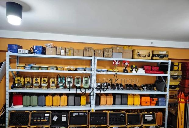
Surveying Instruments
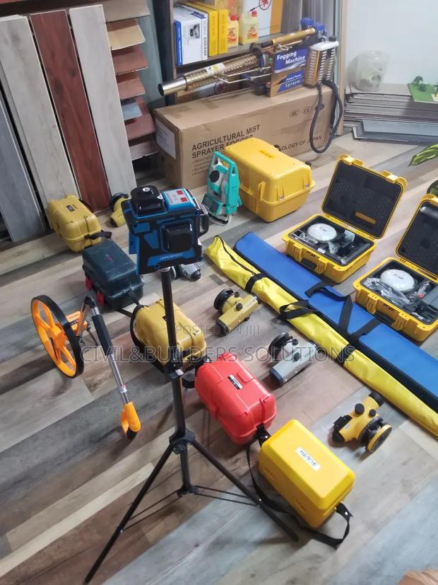
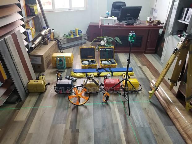
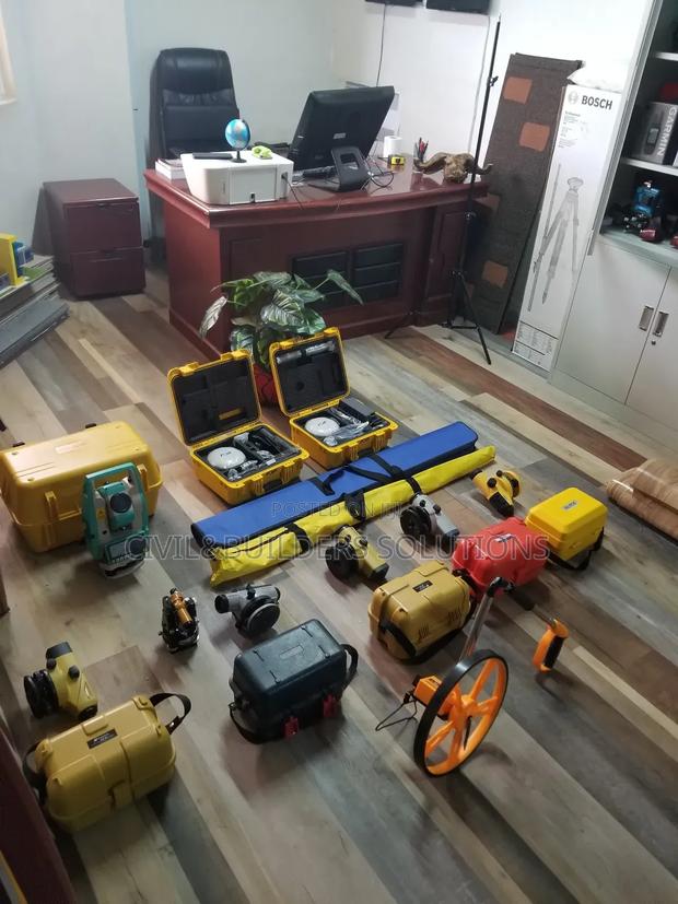
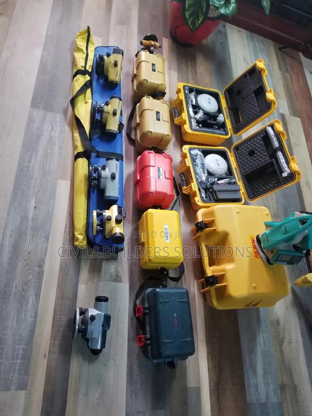
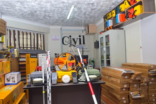
We have a variety of surveying instruments and accessories for sale and hire also .

Survey Work Tools
We supply high-quality survey tools for engineers, contractors, and surveyors, ensuring accuracy and reliability in every project

Survey Measuring Wheel – Precision Road Measuring Equipment
Perfect for engineers, contractors, and surveyors needing reliable measurements

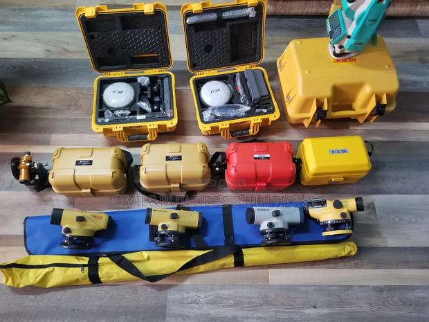
Survey Levels
Survey auto levels are self-leveling optical instruments used in construction and land surveying to measure heights, elevations, and horizontal lines with high accuracy
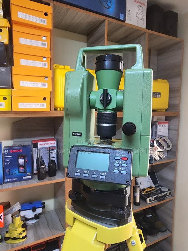
Theodolite Surveying Instrument
Delivers high precision angle measurement for construction ,survwying and engineering projects
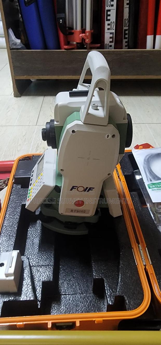
High Accuracy Total Station for Engineering Projects
A precision instrument used by engineers and aurveyors for infrastructure and site planning

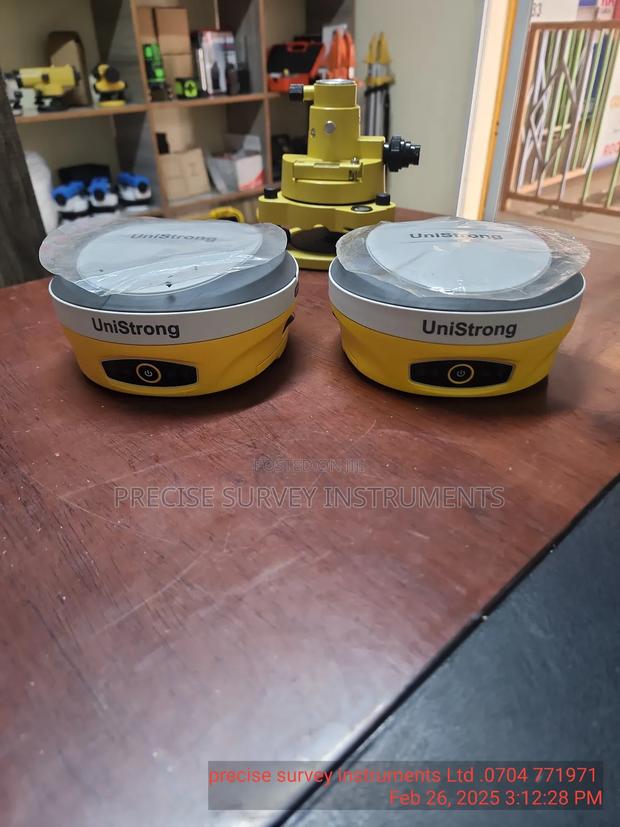
Total Station ( Survey Theodolite)
A total station is a high-precision surveying instrument that measures angles, distances, and elevations, and calculates coordinates automatically
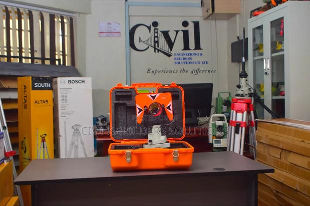
Prism Survey
survey prism is a precision optical device used with total stations to measure distances accurately

Survey Equipment Station
Flexible Applications: Suitable for use in road construction, building layout, topographical surveys, etc