Mapping Tools
Product Description
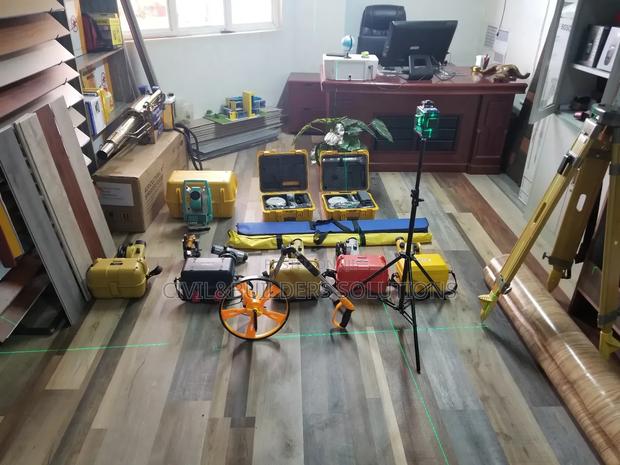
Survey instruments are specialized tools used to collect accurate measurements of land, structures, and terrain. Essential in construction, civil engineering, and land development, these instruments ensure precise planning and execution of projects.
Popular Survey Instruments:
Total Station: Measures angles and distances electronically; used for layout, topographic, and cadastral surveys.
Auto Level: Maintains a constant horizontal line; ideal for leveling work in construction.
Theodolite: Precision tool for measuring vertical and horizontal angles.
GPS/GNSS Survey Equipment: Provides real-time, high-accuracy positioning data via satellites.
Laser Level: Projects level lines or dots for quick, visual alignment.
Measuring Wheel & Tapes: For fast and simple ground distance measurements.
Specifications
- Category
- OBD2 Scanners
- Condition
- Not Specified
- Availability
- In Stock
Customer Reviews
Please log in to submit a review.
Log inLoading reviews...