RTCM Rtk( Radio Technical Commission for Maritime Service)
2 photos
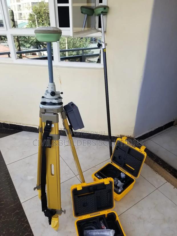
Product Description
RTK is a high-precision satellite positioning method that uses correction data from a nearby base station to deliver real-time, centimeter-level accuracy. It’s widely used in land surveying, construction, agriculture, and drone navigation.
Key Features:
High Accuracy: Typically 1–2 cm precision
Real-Time Output: Provides instant position corrections
Quick Fix Time: Fast initialization and stable positioning
GNSS Compatibility: Supports GPS, GLONASS, Galileo, and BeiDou systems
Versatile Use: Ideal for surveying, mapping, and machine control
Reliable Performance: Maintains accuracy even in dynamic environments
RTK is a trusted solution for professionals who need precise, real-time location data in the field.
Specifications
- Condition
- Not Specified
- Availability
- In Stock
Customer Reviews
Please log in to submit a review.
Log inLoading reviews...