Rtk Foif Surveying
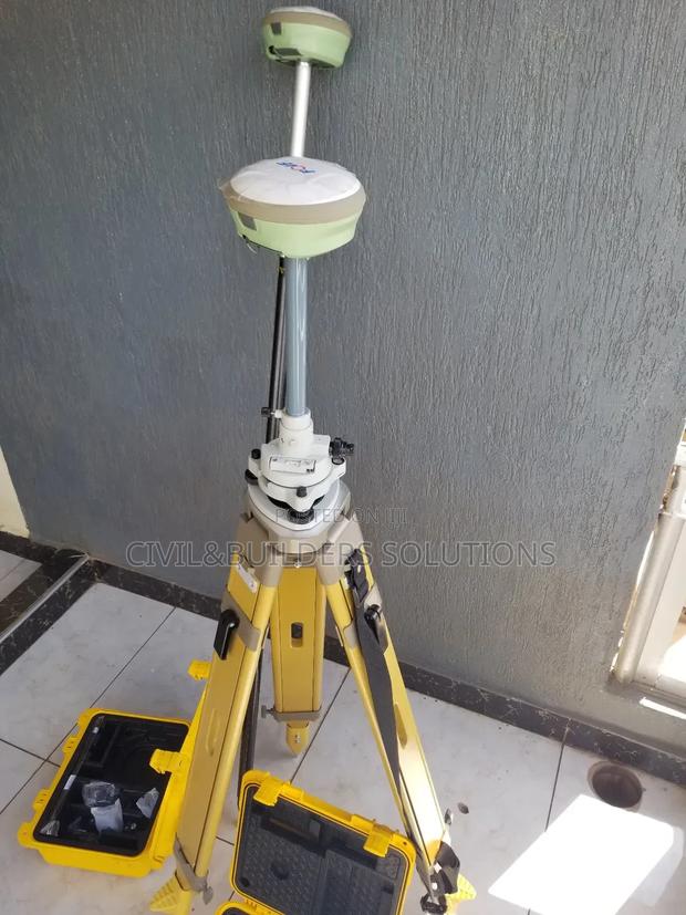
Product Description
RTK is a high-precision GPS technology used in surveying, mapping, construction, and agriculture to provide real-time, centimeter-level accuracy.
It works by using a base station at a known location and a rover (mobile receiver) in the field. The base station sends correction data to the rover via radio, Bluetooth, or GSM, allowing the rover to correct satellite signals instantly.
Key Features
Accuracy: 1–2 cm in real time
Dual-frequency GPS/GNSS support
Live corrections from base to rover
Portable and battery-powered
Connects via SIM card, UHF radio, or Wi-Fi
Uses
Land surveying
Construction layout
Machine control
Precision farming
GIS mapping
RTK systems save time and reduce errors, making them ideal for any work that demands high-accuracy positioning.
Specifications
- Condition
- Not Specified
- Availability
- In Stock
Customer Reviews
Please log in to submit a review.
Log inLoading reviews...