Contour Mapping Tool
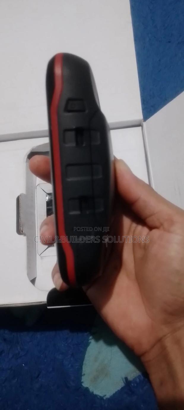
Product Description
Advanced Features
Track Recording and Playback: Devices can record the path taken during surveys, which is useful for revisiting or reviewing survey routes.
Geospatial Data Integration: Data collected by Garmin devices can be used for generating contour maps, 3D terrain models, and other GIS applications.
Specifications
- Category
- IP Cameras
- Condition
- Not Specified
- Availability
- In Stock
Customer Reviews
Please log in to submit a review.
Log inLoading reviews...