Spatial Manager for AutoCAD
Product Description
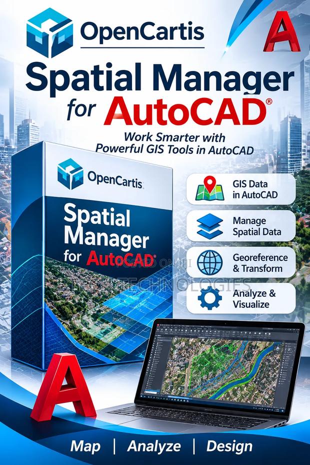
Get Spatial Manager for AutoCAD — a powerful GIS and spatial data management tool designed to integrate geographic information into your AutoCAD workflow.
Key features:
Import and export spatial data
Work with GIS data directly in AutoCAD
Manage geographic coordinates and projections
Georeferencing and coordinate transformation
Integrate spatial datasets into CAD drawings
Work with formats such as SHP, KML, GeoJSON and other supported formats
Analyze and visualize geographic information
Improve mapping and engineering workflows
Ideal for surveyors, GIS professionals, civil engineers, urban planners, architects and mapping specialists.
Specifications
- Condition
- Not Specified
- Availability
- In Stock
Customer Reviews
Please log in to submit a review.
Log inLoading reviews...